
Mapping Country
Échec de l'ajout au panier.
Veuillez réessayer plus tard
Échec de l'ajout à la liste d'envies.
Veuillez réessayer plus tard
Échec de la suppression de la liste d’envies.
Veuillez réessayer plus tard
Échec du suivi du balado
Ne plus suivre le balado a échoué

Mapping Country
-
Narrateur(s):
-
Auteur(s):
À propos de cet audio
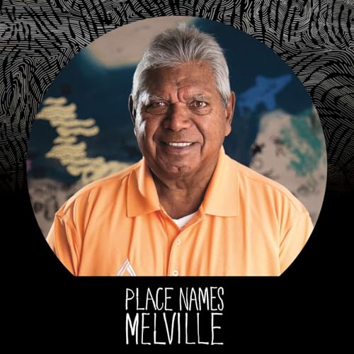
Walk alongside John Hart as he reveals how Noongar people map Country; not with coordinates and lines, but with living landmarks – rocks, rivers, trees, and hills – as guides. From the special vantage point of Yagan Mia (Wireless Hill), learn the stories behind placenames and the powerful connection to ancestors like Yagan and Fanny Balbuk, who navigated by knowledge, not fences. John reflects on bush skills learned from Elders, and how sun, stars and memory were the true guides on Country. Discover why Noongar maps are living, colourful and rooted in reciprocity; built from stories, responsibilities and connection, inviting us to see the land through fresh eyes.
Pas encore de commentaire